Flushing Meadows Corona Park, Queens, NY

I’ll take a little break from the ancient travelers, and talk about something more recent, but still 50 years ago.

Recently I had to work in Port Washington, NY, on Long Island. To get there I drove through Queens, which is one of the boroughs of New York city. A slight deviation from my route brought me to the site of the New York World’s Fairs of 1939 and 1964, in Flushing Meadows Corona Park, Queens, NY.

Why is this important to me? I was one of the 51 million visitors who attended the fair in 1964. I don’t remember much about it, but I know that by now, according to some of the exhibits at the fair, we should all be driving flying cars by now.

Some of the attractions and new technologies presented at the fair included microwave ovens, Disney’s “It’s a Small World” animatronic ride and Belgian waffles with strawberries and whipped cream.

The video phones that were among the technological predictions have morphed into things like Skype and Facetime. IBM and NCR had computers that could give out information based on input from cards – forerunners of Google and Bing. In addition to “It’s a Small World,” there were three other animatronic exhibits, including one with a robotic Abraham Lincoln. And the iconic American muscle car, the Ford Mustang, was introduced to the American public at the 1964 New York World’s Fair.

Before leaving home, I looked at google maps and saw that the Queens Zoo is located adjacent to the World’s Fair site, within walking distance. And from the Queens Zoo website I discovered the parking lot on 111th Street. So I parked in the lot for the zoo, which is free and was almost empty at the day and time that I was there.
IMG_0827b

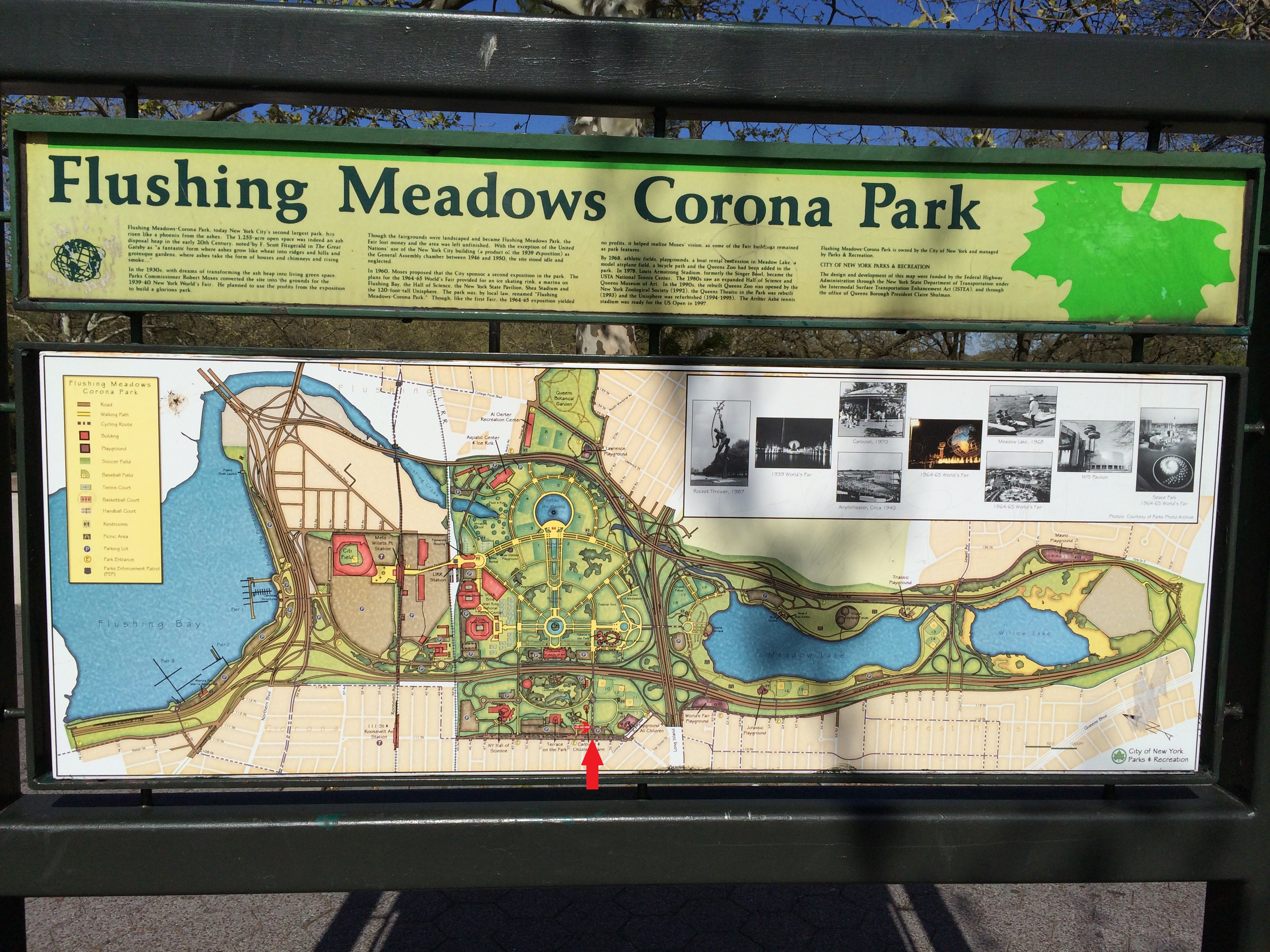
In the parking lot, next to a set of steps leading down to a walkway, is this very convenient sign. I added the big red arrow to the photo. Just above it is a dark horizontal line which is 111th Street, and above that is the parking lot. You can see a small red blob which is the “You Are Here” marker. This map showed me that I could walk down the steps and straight ahead to get to where I wanted to go. Without this sign, I would have taken a more round-about path and would have done much more walking.
IMG_0828b
The Queens Zoo

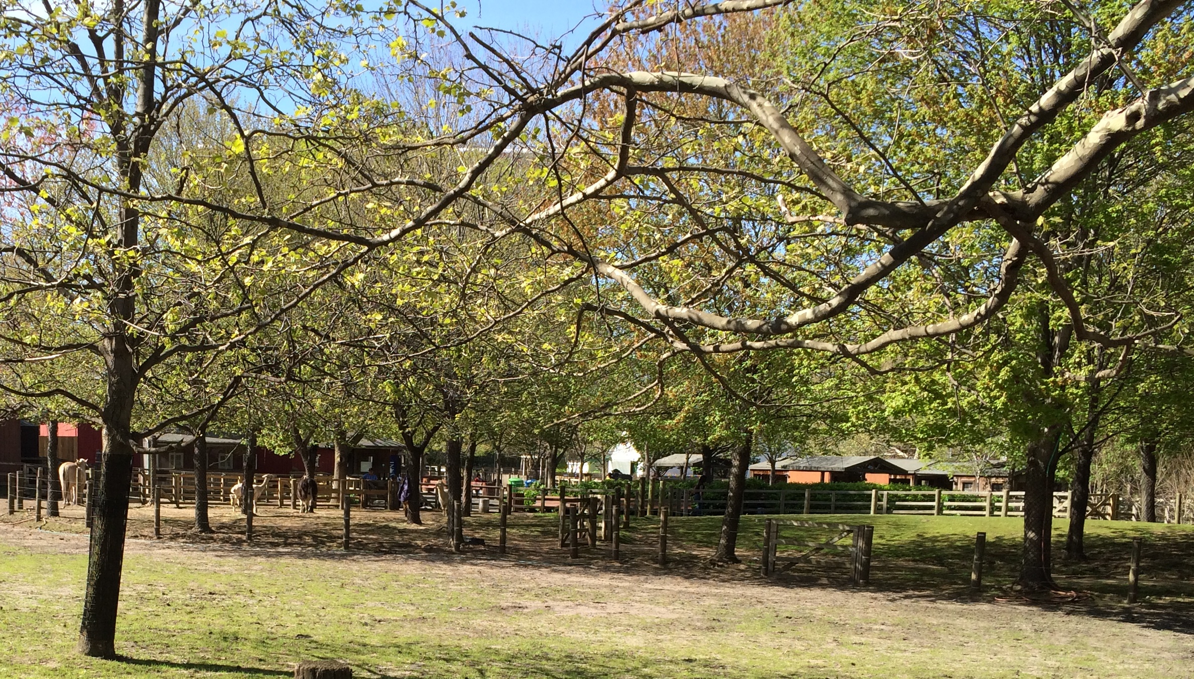
To the left of the path is the Queens Zoo. I didn’t visit it, but I took this photo of a part of the zoo with some cows and llamas.
IMG_0829
The Carousel

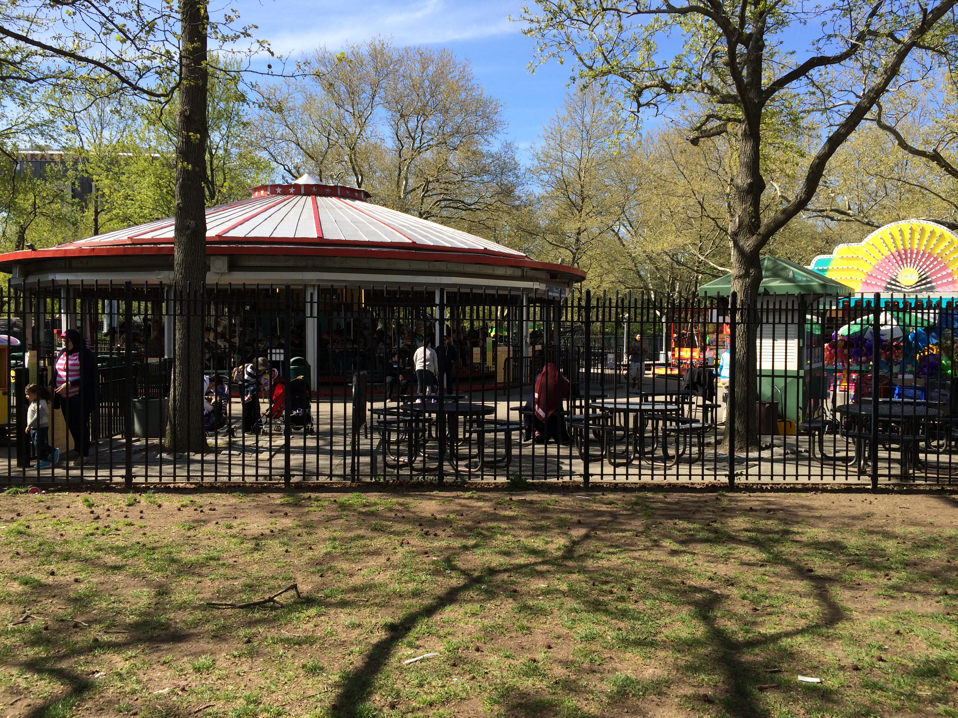
Up the path a ways, I went past the antique carousel, which is open to the public for free.
IMG_0833

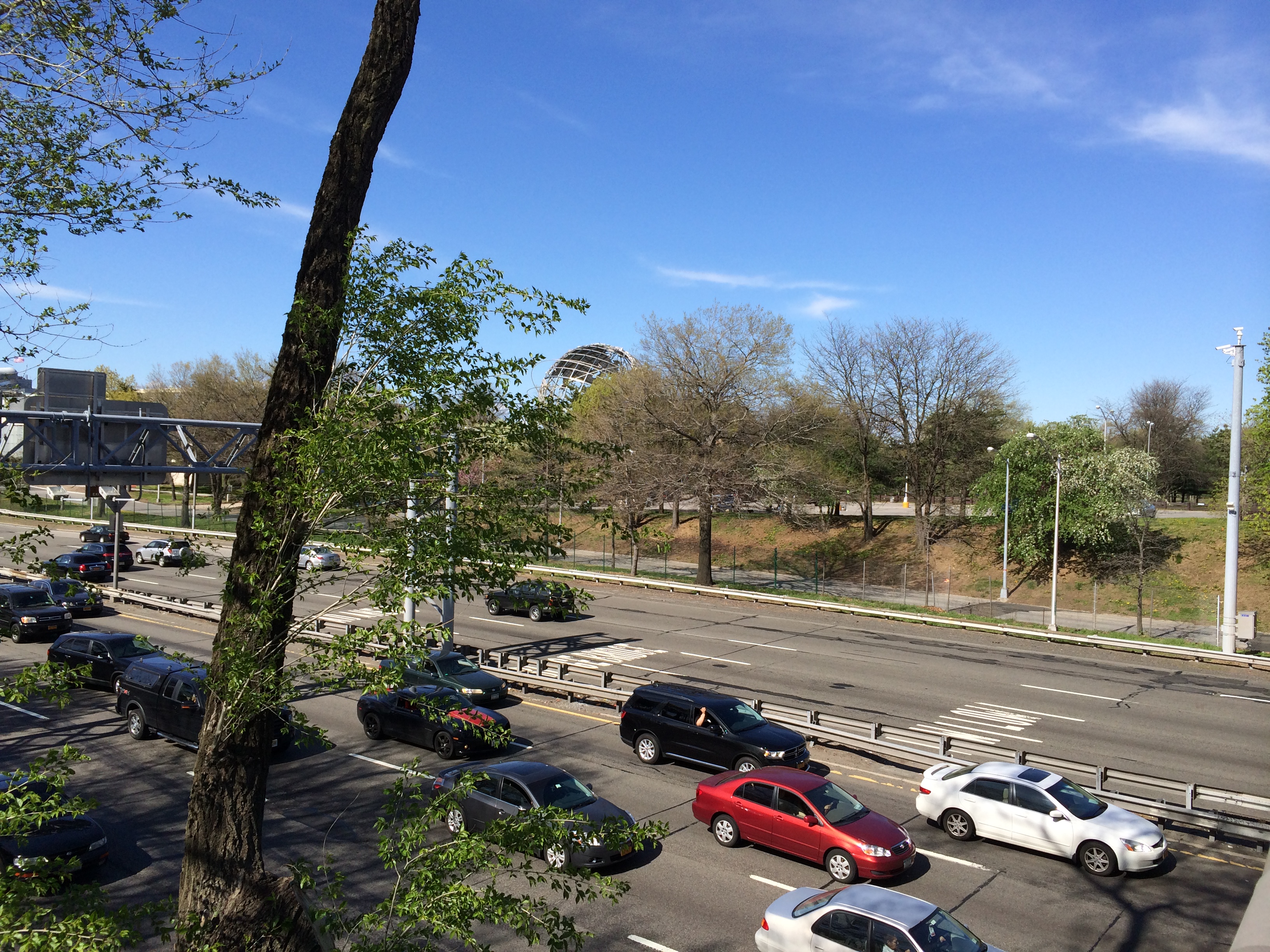
As I continued walking toward the site of the fairgrounds I came to a bridge over the Cross Island Expressway. You can see the Unisphere peeking over the trees.
IMG_0834
The New York State Pavilion

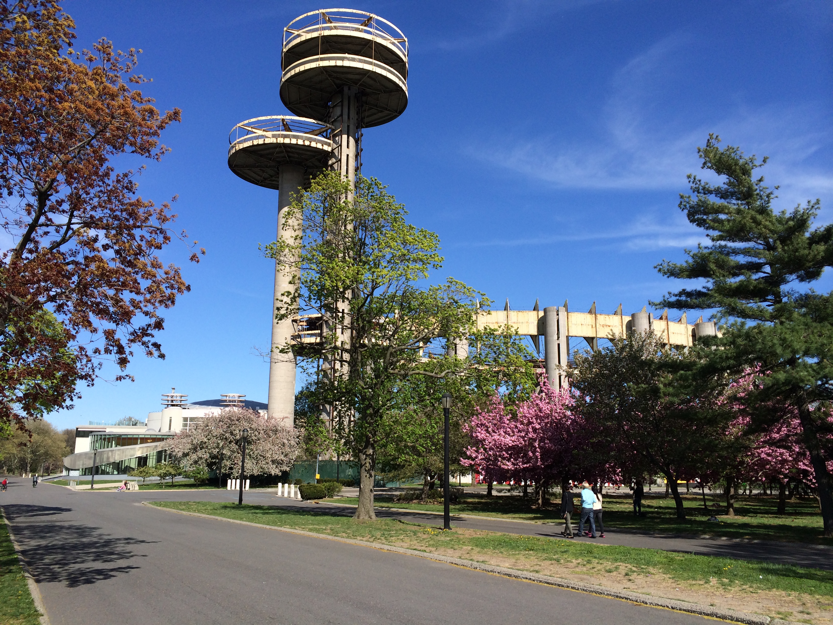
Off to the right is what is left of the New York State pavilion, rusting and locked and waiting for a decision about its future.
IMG_0838
The Unishpere

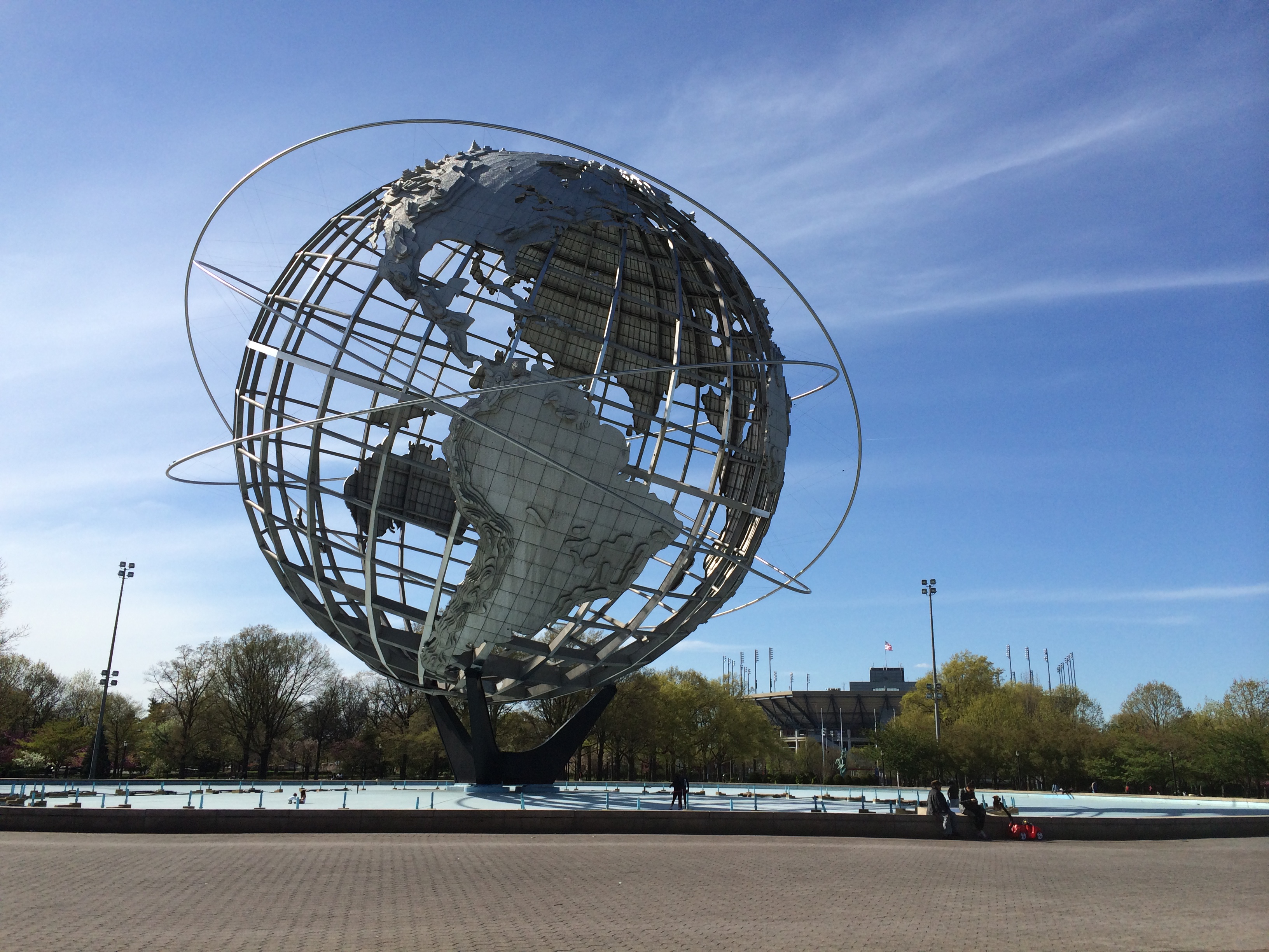
First I walked to the symbol of the fair, the Unisphere, the giant metal globe donated by the US Steel Corporation. According to the plaque on the wall of the fountain around it, this symbol of the 1964 World’s Fair was “Dedicated to man’s aspirations toward Peace through mutual understanding and symbolizing his achievements in an expanding universe.”

The fountain was dry, but there were signs all around warning people to not swim or play in it, so I guess they must have water in it sometimes.

Nearby is the Queens Museum in a building which dates to the 1939 New York World’s Fair. This building briefly housed the United Nations General Assembly after World War II. Inside are posters from both fairs, a replica of Michelangelo’s “Pieta,” which was in the Vatican Pavilion during the 1964 fair, a scale model of the city of New York called the “Panorama of the City of New York,” with models of each of the city’s 895,000 buildings built before 1992, along with every street, park and bridge.

Over on the other side of the zoo, where I didn’t see it, is the New York Hall of Science with two NASA rockets standing 100 feet (30 meters) high. The New York Hall of Science replaced a temporary pavilion and opened a few years after the fair.

The fairgrounds are now a park, and there were people enjoying the sunshine. There were people playing soccer, picnicking or just sitting on benches soaking in the sunshine. It was good to know that the grounds were not just sitting idle and being wasted.

The next photo was taken near the Unisphere, looking out toward the Fountain of the Planets, with several reflection pools along the way.
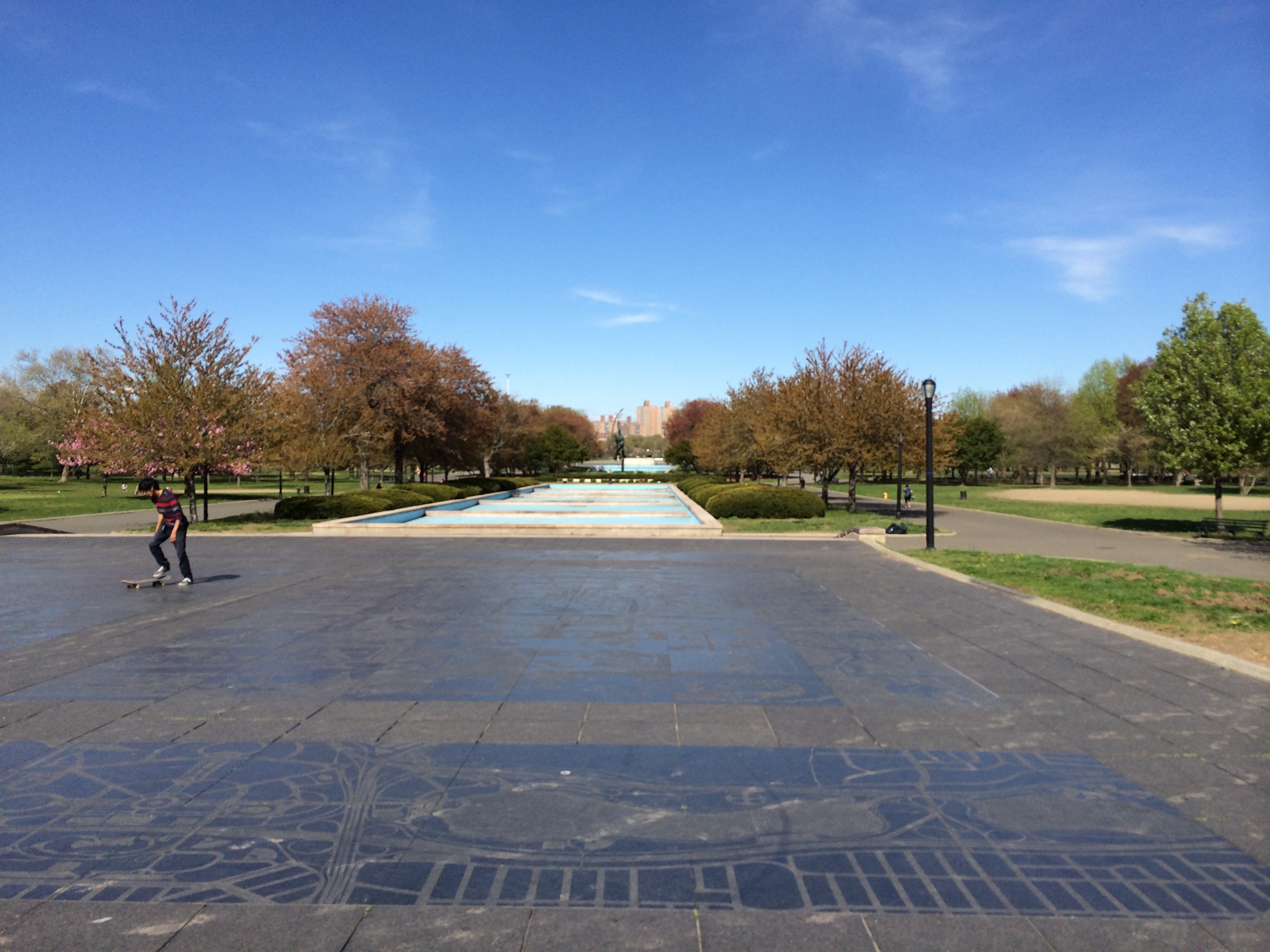
IMG_0839

The pavement that this person is trying to skateboard on has maps of the ground inscribed on it.

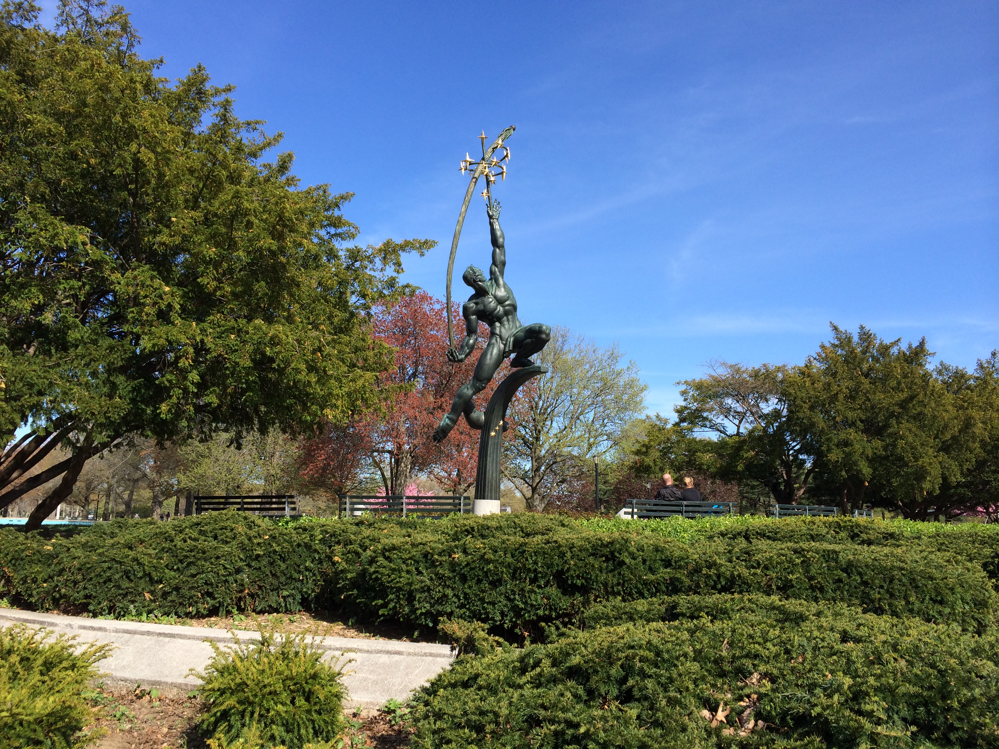
Partway down in the distance is the sculpture called the “Rocket Thrower,” designed by Donald De Lue. A close-up view is in the next photo.

The reflecting pool at the end, closest to the Fountain of the Planets, had some water in it, probably from recent rains. There were some kids playing in it but I’m not sure how sanitary it was…
IMG_0843
The Rocket Thrower

This is the sculpture called the Rocket Thrower. He is a heroic, 43-foot high bronze figure throwing a rocket with his right hand and reaching for the stars with his left. De Lue was an American sculptor, born in Boston, MA, apprenticed under the English sculptor Brian Baker, and later studied art in England and France. He created the plaster model which was shipped to Italy and was cast at the Fonda Artista in Via Reggio, which took almost a year.
IMG_0849
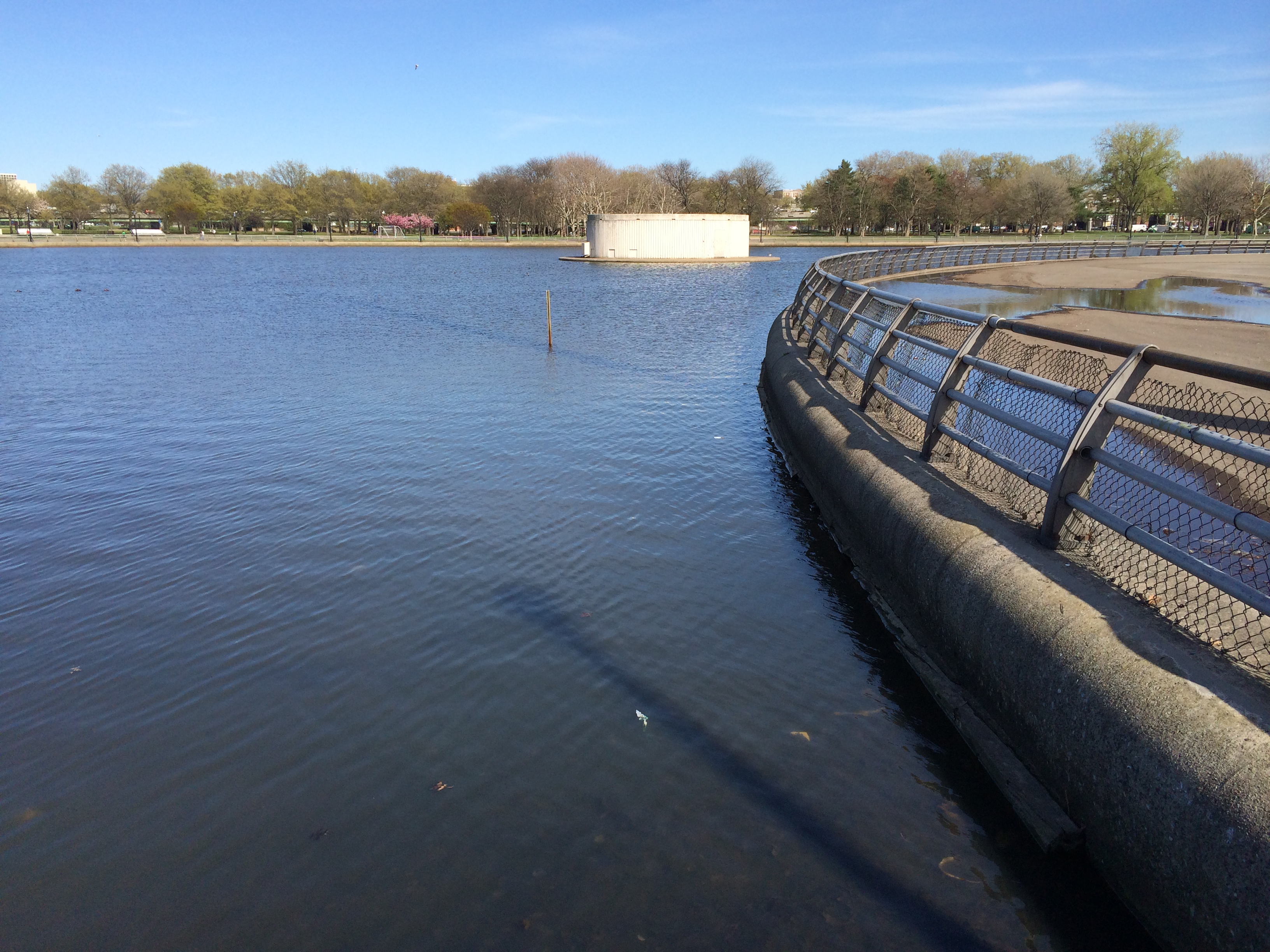
The Fountain of the Planets

The photo above shows the Fountain of the Planets, from the left side. I don’t know what it looks like when the fountain is turned on.
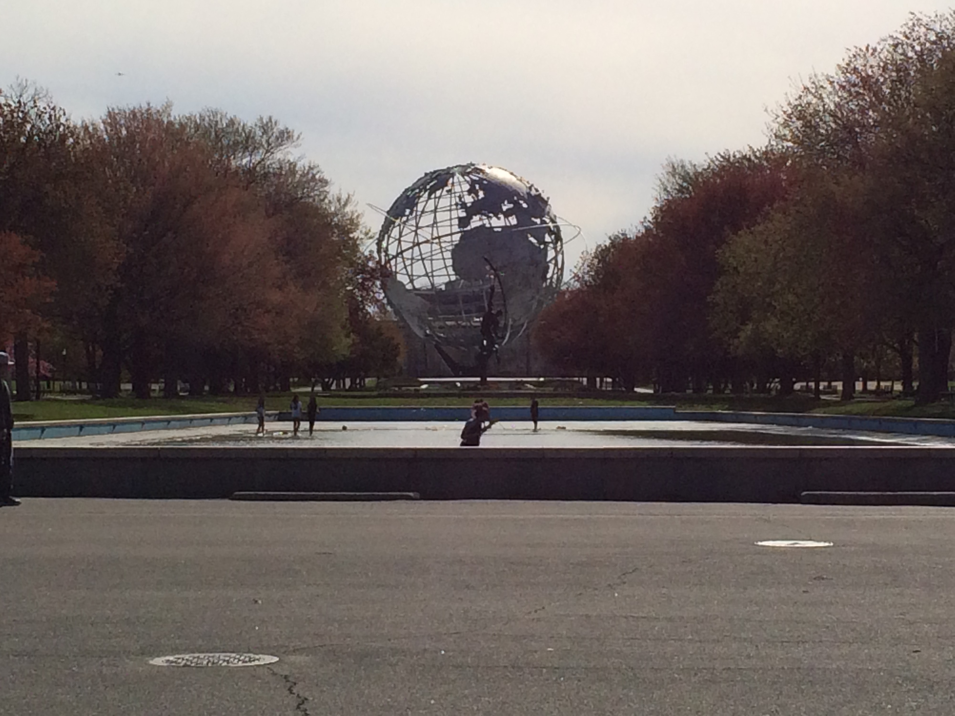
IMG_0851

Here is a view looking back from the Fountain of the Planets to the Unisphere, with the Rocket Thrower in between.
IMG_0854
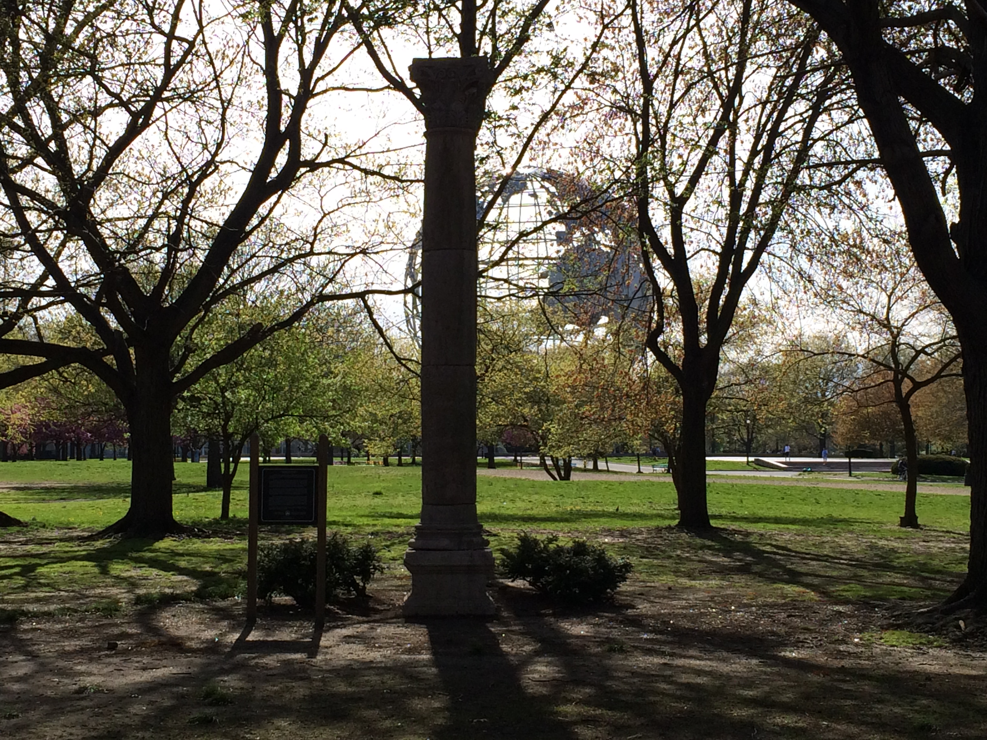
The Column of Jerash

As I walked back to the car, I came across the 30 foot high marble Column of Jerash, which was presented to the New York World’s Fair Corporation and the City of New York by His Majesty King Hussein of the Hashemite Kingdom of Jordan. It was one of many columns in the Temple of Artemis erected by the Romans in 120 AD in the Roman city of Jerash, Jordan.

The Jordanian pavilion was located near this site, and inside, among other things, was one of the Dead Sea Scrolls, displayed in a replica of the cave in which it was discovered.

This column is one of the few true antiquities displayed in New York City’s parks.
IMG_0856

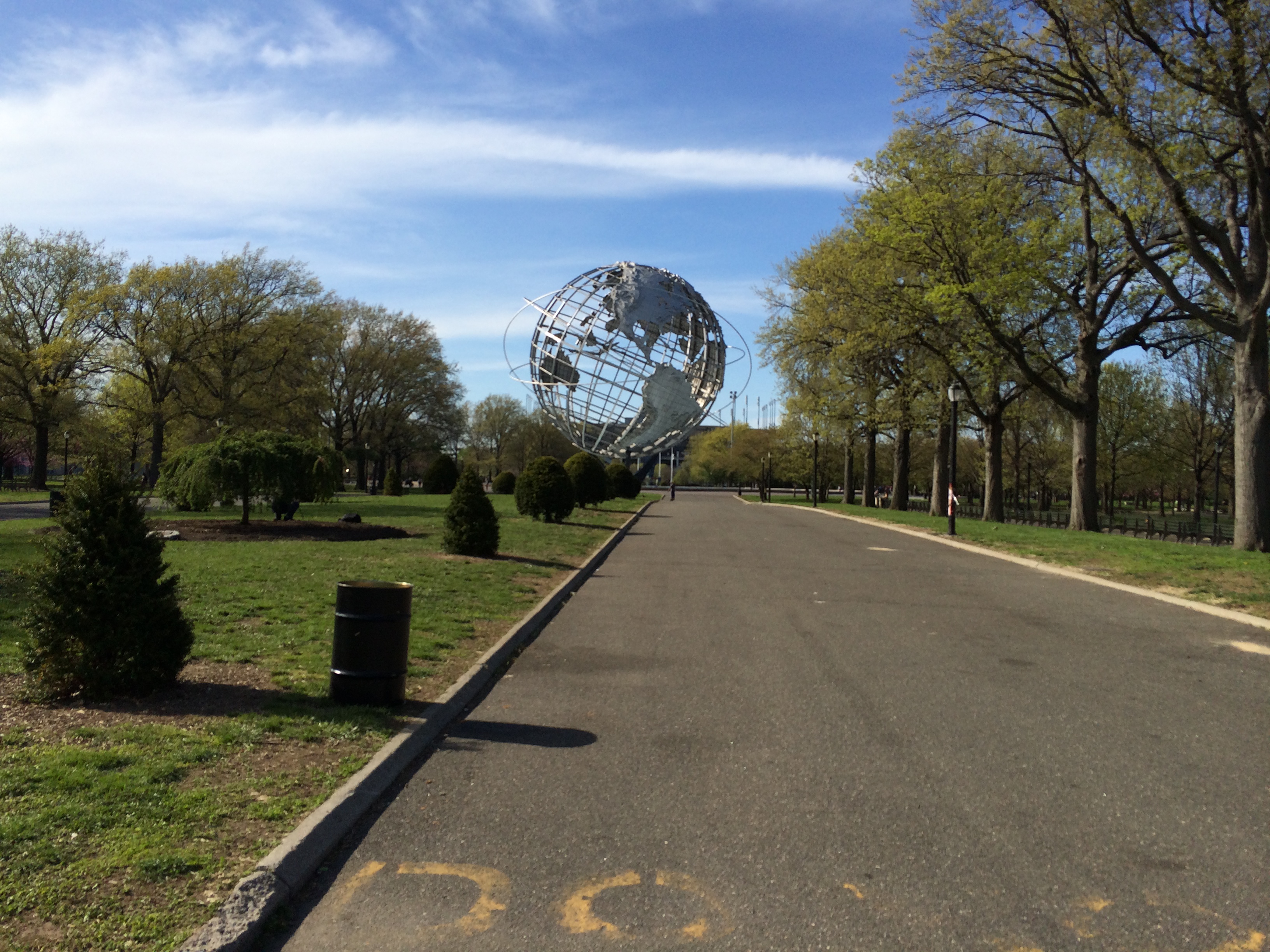
One last view of the Unisphere as I walked to the car.
Around Africa

A continuation of a series about ancient travels.

This is the story of a group of Phoenician sailors who undertook a journey that was extraordinary for its time. Even though we do not know the names of any of the individual sailors involved, I thought that a journey like this should not be skipped in this series.

Herodotus

Herodotus, the ancient Greek historian, lived in the fifth century BC and produced a work called “The Histories“. He was called “The Father of History” by Cicero, but was called “The Father of Lies” by Voltaire. This points up two facts: Herodotus was the first historian known to collect his materials systematically, test their accuracy to a certain extent, and arrange them in a well-constructed and vivid narrative; but also the fact that some of his stories were fanciful and others inaccurate, although he claimed he was reporting only what had been told to him. It has been said of herodotus that he was “quite scrupulous, objective, scientific for his time.” And some of the things that he wrote about that were
considered fanciful have later been borne out as true.

Herodotus was in Egypt at some time and while he was there he discovered a story that happened about 150 years earlier.

Egyptian King Necho

Egyptian king Necho II (Wehimbre Nekao) was involved with many battles and also with an attempt to build a canal between the Nile and the Red Sea.

Phoenician_ship

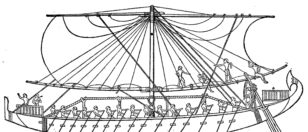
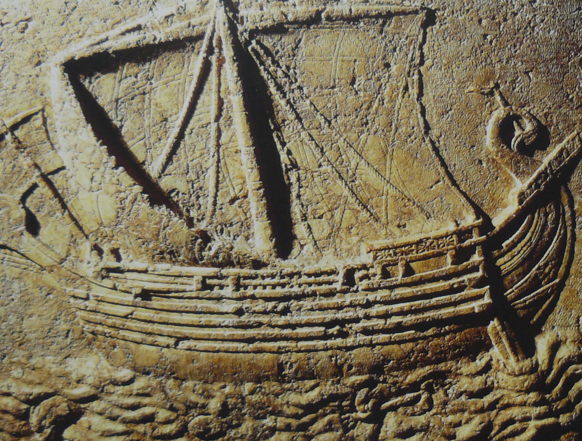
In about the year 600 BC, he is said to have commissioned a group of Phoenicians to sail around Africa. According to Herodotus, they sailed east to west beginning from the Red Sea, south along the eastern coast and then north along the western coast of Africa. (No mention is made of rounding what we call the Cape of Good Hope.) They stopped each fall to plant crops to sustain them on their trip. They spent two years sailing around the continent and in the third year, returned through the Gates of Hercules to the Mediterranean and then made their way back to Egypt.

There is much controversy about this account, with many people doubting that it ever happened. But there is one line in the story by Herodotus that leads us to believe that it may have actually taken place.

In his story, Herodotus writes that as they traveled east to west, “they had the sun on their right” - to the north of them.

When people sail in the Mediterranean, the sun is to the south of them, because they are above the equator. So when they sail east to west, the sun would be to their left.

However, in that time, people thought that the earth was a flat disk, with the Mediterranean in the center and the countries around it, with all of it surrounded by the “river of ocean.” They had no concept of the earth being a sphere, with an equator. So they had no idea that the sun might be in a different position as you go below the equator.

Herodotus appears to have believed the story of the Phoenician expedition around Africa, but he doubted the idea that the sun could have been to their right as they sailed east to west. But this is the greatest evidence that these sailors did circumnavigate Africa over 2,000 years before the first Portuguese expedition by Bartolomeu Dias in 1488 which reached the Cape of Good Hope and entered the Indian Ocean, and the subsequent journey ten years later by Vasco da Gama, who led the first fleet around Africa to India.

An Odyssey of Epic Proportion

This is the second in a series of posts about historic travels.

The ancient Minoans were avid travelers, sailing from their base in Crete to various places around the eastern Mediterranean, from about 3000 to 1000 BC. We know this indirectly by evidence of the trade they conducted and artifacts they left in various places. Their coins have been found as far west as southern Italy and Sicily, and they may have even passed through the Strait of Gibaltar. But we have no direct written record of any particular voyage.

But we do have written record of one ancient voyager, named Ulysses. We have the story written by Homer, an epic voyage with a few detours, of Ulysses sailing home from Troy, “The Odyssey”. This story was put together from Greek stories, Minoan traditions, and myths from various peoples, handed down by word of mouth from generation to generation until Homer put them together and wrote them down. So it is not what we think of when we think of a traveler relating his experiences on a trip. There is no way to tell how much is true or based on truth and how much is pure fantasy. Homer knew little about geography or navigation, so there are many errors in these areas. But as a story of exploration and adventure, this one stands out.

I’m not going to give a synopsis of the book here. Nor am I going to try to trace the route of Ulysses on his journey, as this has been done many times, and all of the attempts have been based on conjecture and luck. But there are some places that we can determine as probable stops along the way.

messina

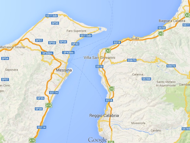
The “Scylla and Charybdis” almost certainly corresponds to the Strait of Messina between the island of Sicily and Calabria at the “toe” of Italy. The Scylla (a six headed serpent) is thought to correspond to a rock shoal on the Italian side of the strait and the Charybdis refers to a whirlpool off the coast of Sicily. Sailing between them could save considerable time as opposed to going around the island of Sicliy, but in those times it was a very big risk.

When Odysseus reached the Aeolian Islands, the Keeper of the Winds, gave Odysseus a tightly closed bag full of captured winds to use to easily sail home it Ithaca. However, his men opened it thinking it was full of riches, which ended up extending the voyage. The Aeolian Islands are located north of Sicily in the Tyrrhenian Sea, and are also known as the Lipari Islands because the largest island is named Lipari, as is its main town.

The Land of the Lotus Eaters is also easy to find. Along a portion of the coast of Tripoli, a form of the lotus was eaten and regarded as a delicasy.

Homer mentions Phoenicia, Cyprus and Egypt, but he appears to have a distorted view of the relationship of these places geographically. In his view, the Earth is a flat disk with the Mediterranean at its center and the countries forming its shores. Around them is the “river of ocean” that surrounds it all. Most of the rest of the world is full of mist and storms and monsters.

But Homer has a firm grasp of Ulysses as an explorer, adventurer and seaman. When things go against him and he cannot progress, he cries out and yearns to get home to Ithica. But once he has overcome whatever is holding himm back, he heads off in another direction for more exploration and adventure.

So while this may not be a straight forward description of one man’s travels, much of what is in this story is probably based on truth. Homer has given us one long traveler’s tail and a great travel story which can inspire the adventurer in all of us.

Egyptian Exploration, the First Recorded Journey

This is the first of a series of posts about historic travels. I will try to find interesting historical travel-related stories.

People have been traveling ever since there have been people. According to theory, people evolved in Africa and migrated to all other parts of the world. Trade occurred between people living in different parts of the world. People waged war against each other, sometimes having to travel long distances to do so. And I’m sure there were people who just decided to explore other places. And much of this happened before people developed a written language.

The first record of travel is from an Egyptian noble who went on a trading expedition for the pharaoh Mentuhotep III (Sankhkara) around 2750 B.C. The reason we know about him is because he was so proud of his accomplishment that he had an account of his travels carved in stone in the valley of Hammamat.

His name was Hannu and he is buried in a tomb in Deir el-Bahri, in Theban Necropolis (catalogued as TT313.)

Travels

With a three thousand man army for protection, Hannu set out in the eighth year of the reign of Mentuhotep III. It seems that the Egyptians had had dealings with people of Arabia previously, but Hannu revived this trade, which ultimately revived the fortunes of Egypt.
Hannu’s goal was to conduct ships to the land of Punt to fetch sweet-smelling spices for the king, who financed the expedition.

Hannu started out from the city of Coptos and traveled overland, over hills and across desserts, to a port he calls “Seba” somewhere along the Red Sea. This may have been at or near the current port city of Quseer (or Kosseir.) The description of this part of the journey includes a description of how they carried water with them and reservoirs he had built along the way to contain water.

boat

Once they arrived at Seba, he had ships built and offered animal sacrifices. At this point, he either sent the ships off to the Land of Punt or probably commanded them himself. They sailed south to get to the Land of Punt, which would have been somewhere around the Horn of Africa.

On his return from Seba, he brought with him 80,000 measures of myrrh, 6,000 weight of precious metal (gold-silver alloy) and 2,600 staves of precious wood, probably ebony. His inscription states that he returned “by the road of Uak and Rohan” and brought with him precious stones for the statues of the temples.

The trip that Hannu took was somewhere around 5,000 KM each way, around 3,000 miles. Not really a lot to us these days. The last trip I took to Europe included a flight from Philadelphia to Milan, about 6,600 KM or 4,000 miles each way. But his inscription goes on to boast that nothing like this had happened since the time of the sun-god RA, essentially meaning that nothing like this had ever happened before.

It’s quite possible that his boast was true.

Europe’s Best Historic Cafès

The Telegraph has posted a slideshow about historic cafes in Europe, including some famous cafes as well as some not so well known, and even one that I have been to: Da Florian in Venice.

One of Rome’s most atmospheric cafes, the Caffè della Pace, is in danger of being closed down. As a heritage association launches a campaign to keep the Caffe della Pace open, we look at other historic institutions across Europe that are still open for business…

See the slideshow here -> Europe’s best historic cafes


Turning a stock exchange into a Beer Temple

This looks to me like a great way to re-purpose old buildings.

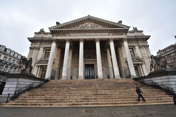
The Belgian Beer Temple is not going to be a museum. What it will be is an interactive and dynamic environment in which to experience Belgian beer, allowing a wide range of visitors to discover Belgian beer culture at their own pace and based on their own particular interests.

See more here -> Brussels stock exchange turns into Belgian Beer Temple

Foods That’ll Make You Want To Visit Belgium

speculaasthmb


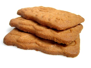
In addition to the beer and the waffles and the chocolate and the fries, there are even more reasons to visit this country which is the size of the state of Maryland.

…if you take a look at Belgium’s regional cuisine, you’ll see that the food is reason enough to make a trip to this extra rainy, yet beautifully forested country…

See the story from the Huffington Post here -> 13 Foods That’ll Make You Want To Visit Belgium (PHOTOS)

See my sample Belgian itinerary here -> Belgian Itinerary — Breweries and History

A Trappist Brewery in the U.S.

NPR reports on a monastery in Massachusetts that has recently been approved by the International Trappist Association to bear the Trappist logo.

The town of Spencer, in central Massachusetts, isn’t well known for … well, anything, really. But it’s about to become internationally famous — at least in beer-drinking circles.

See the story here -> American Beer Fans, Praise The Heavens: A Trappist Brewery In U.S.

Plan your Trips to Maximize Bird Sightings

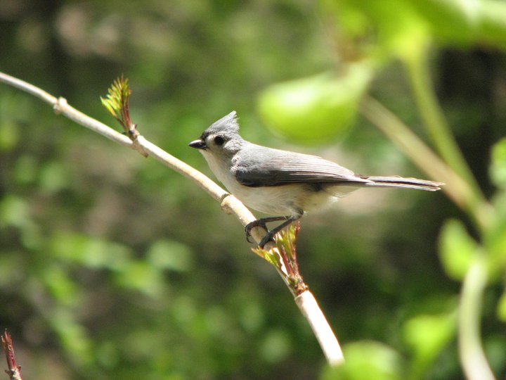
titmouse

The All About Birds blog at the Cornell Lab of Ornithology provides information on how to use the Hotspot Explorer at eBird to plan a trip to maximize bird sightings.

Hotspot Explorer tallies all the eBird records at each location on a Google map and then color-codes them by the number of species reported.

See more here -> How to Plan a Birding Day Trip With eBird Hotspot Explorer

Best Christmas Markets in Europe

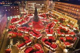
christmas market


Travel and Leisure Magazine lists their picks as the best Christmas markets in Europe for anyone lucky enough to spend some time there during the holidays.

From one of the newest markets in Brussels, Belgium, which has been around only since 2002 to the oldest continuously running market, in Dresden, Germany, which dates back to 1434.

See more here -> Best Christmas Markets in Europe